
Eyes on the Water: Marine Monitor (M2) Is Closing the Surveillance Gap in Nearshore Protected Areas
Getting eyes out on the water, for protection and monitoring, is an ambitious goal on a planet made up of 71% ocean. Satellite systems can track large vessels on the open seas, and AIS technology can follow vessels large enough for a mandatory transponder. But these systems leave significant gaps. In the nearshore waters surrounding our most biodiverse and vulnerable marine ecosystems, illegal fishing, and the extraction of protected species, continue largely unseen. Species are becoming endangered, fisheries are being overused, and the local livelihoods that depend on them are suffering. It is precisely this gap that EarthTeam’s March solution spotlight, the Marine Monitor (M2), is built to fill.
What began off the shores of California has grown into a global operation, with 40 systems now deployed worldwide. Government agencies, MPA managers, enforcement personnel, NGOs, and research institutions are all using the technology across a range of applications — with combating illegal fishing, wildlife trade and protecting local resources among the most critical. M2’s autonomous and remotely operated systems can be deployed in the most remote locations, where resources for constant surveillance and enforcement are scarce.
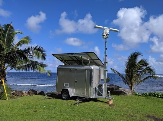
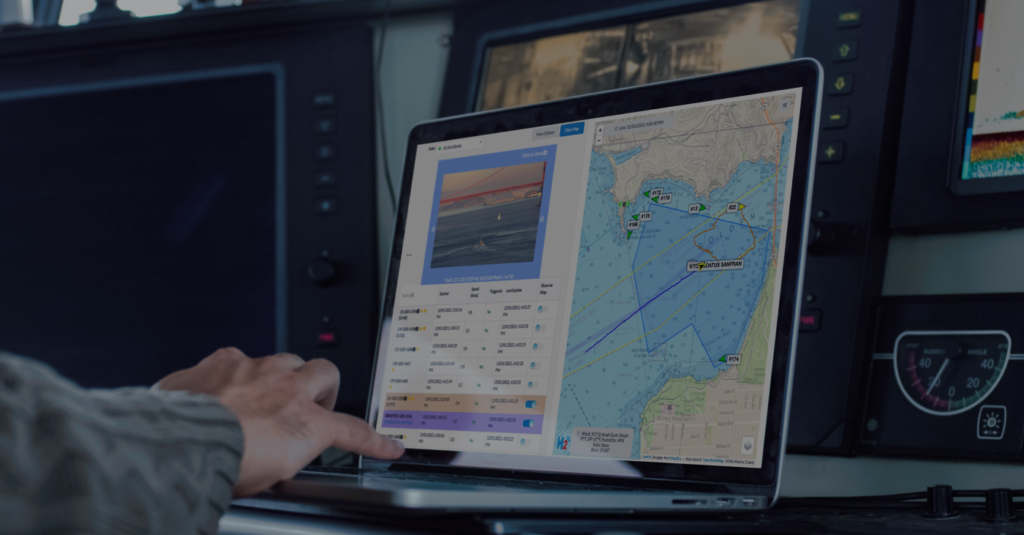
One core challenge M2 addresses is tracking smaller vessels that slip beneath larger radar systems. In areas with limited patrol capacity, a vessel under ten metres can enter a protected zone, and be gone before anyone knows it was there. The M2 system pairs a camera with a radar unit capable of vessel monitoring up to ten to twenty kilometers offshore, tracking boats as small as seven meters. Connected to the network via solar power or existing infrastructure, M2 continuously monitors vessel patterns and alerts managers when a target meets the criteria for closer inspection. A geofence representing the boundary of a protected area allows the system to send detailed information — including vessel paths and entry timestamps — directly to enforcement agents’ phones or other devices. Rangers and managers can attend to other tasks knowing that the system is watching, and act only when the data warrants it. The intelligence is already assembled when they need it.
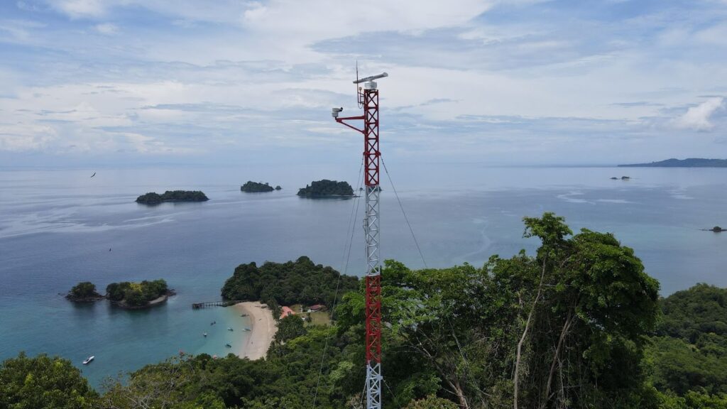
The value of M2 extends far beyond this kind of enforcement. The system has proven useful for emergency response, coastal safety, and monitoring human activity patterns in sensitive areas. Crucially, the longer-term seasonal datasets it generates can also be a significant resource for conservation research and policy analysis. These larger scale impacts complement the other main goal of the M2 system: helping communities sustain their resources and protect their ecosystems. Local communities are often most impacted by illegal fishing and poaching, making the self-sustaining management of their resources vital to both human livelihoods and marine biodiversity.
In our world where coastal ecosystems continue to be coveted resources, vital to biodiversity and humans alike, M2 represents an important milestone in conservation: a practical, scalable tool that meets the problem where it lives.
Learn more at m2marinemonitor.com